Map
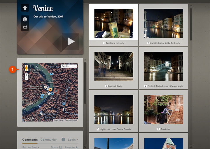
1 Map on index page
When the map is placed on the index page all the markers will be displayed. The actual marker will be orange, the others blue. You can click the markers to go to the image. Also when you move the focus by navigating within the thumbnails with the arrow keys, the map cutout will follow and the actual image will be highlighted. Settings up map feature
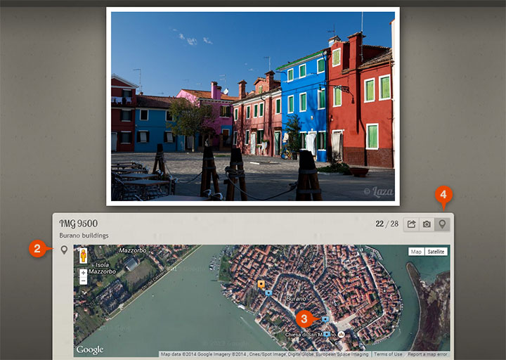
2 Map on slide page
When using the map on the slide page it will be displayed under the images, on the Info panel.
Not all placemarks appear on the map, only the 30 previous and the 30 upcoming markers. This is because adding too many markers can increase the page and map load times significantly, and clutter the map area.
You can toggle the map with the Map button. This preference is kept within the current browser session for one hour. Set up the default visibility on the Images panel.
You can add GPS coordinates either by using a camera that supports geotagging
out of the box, add coordinates by a third-party application, like Picasa
or Adobe Lightroom
, or by adding the coordinates within jAlbum, see here.